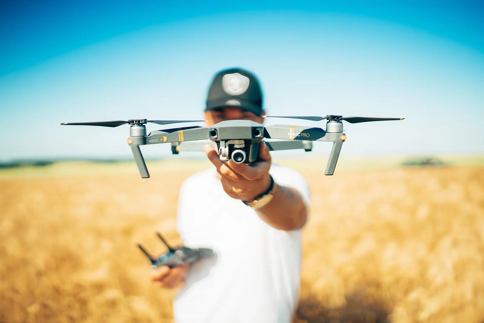
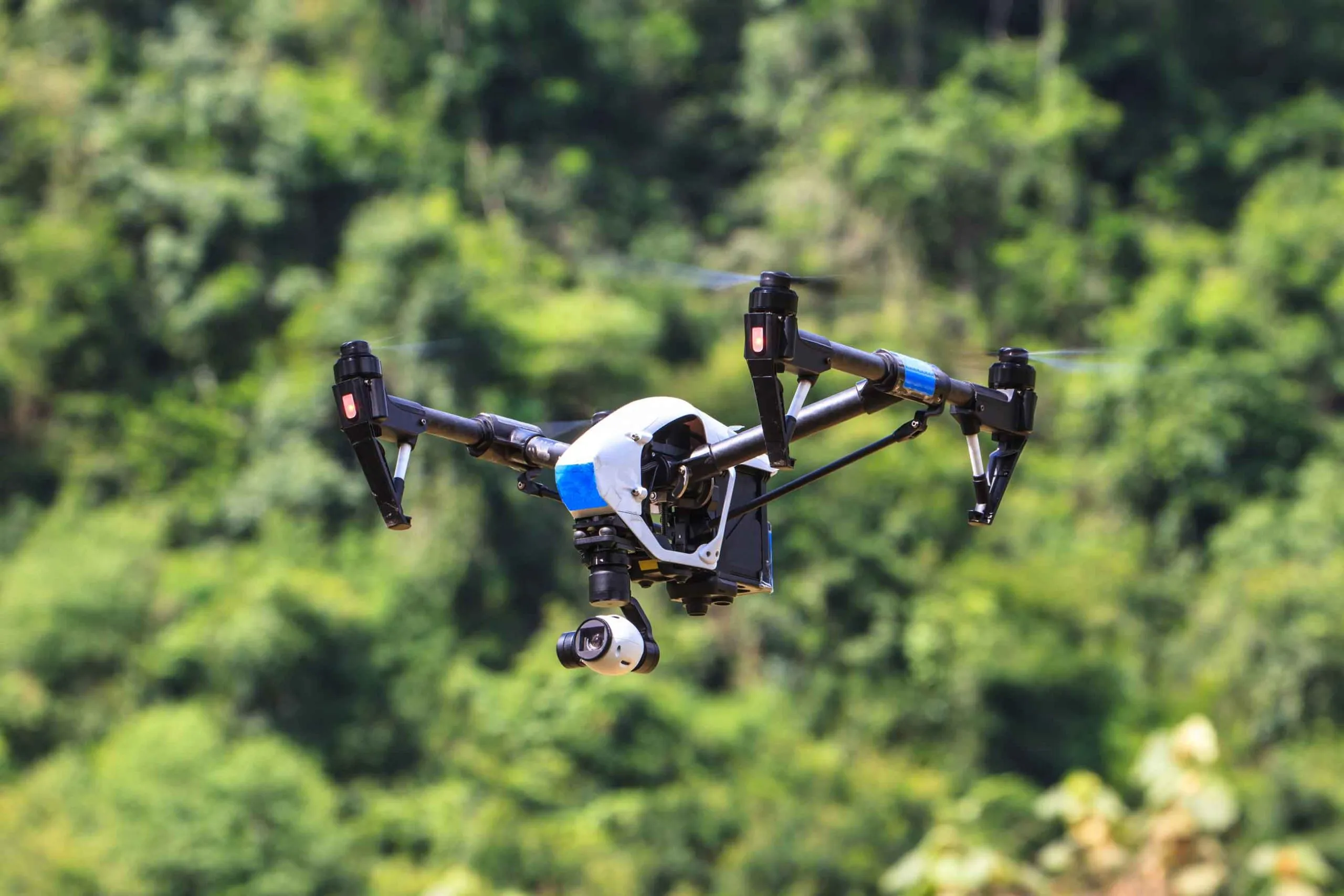
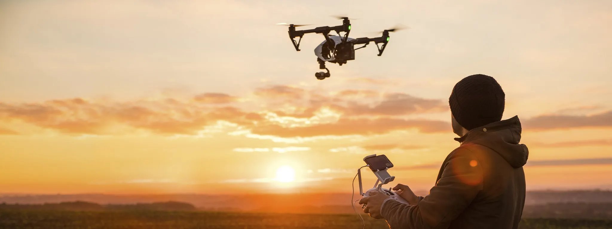
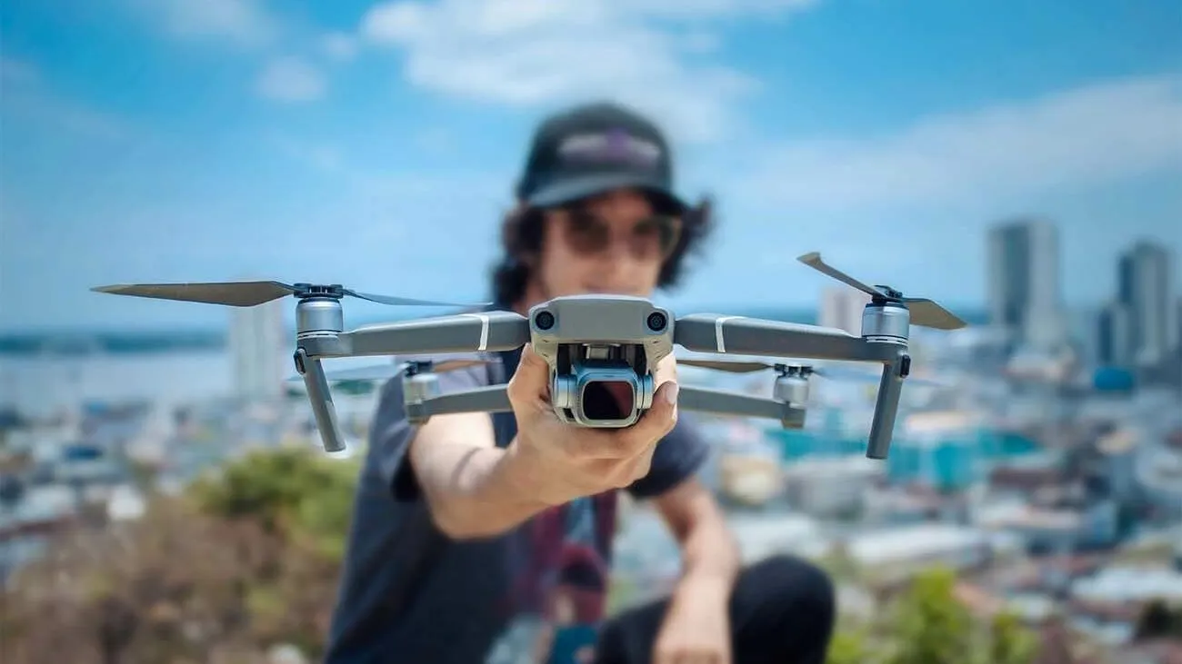
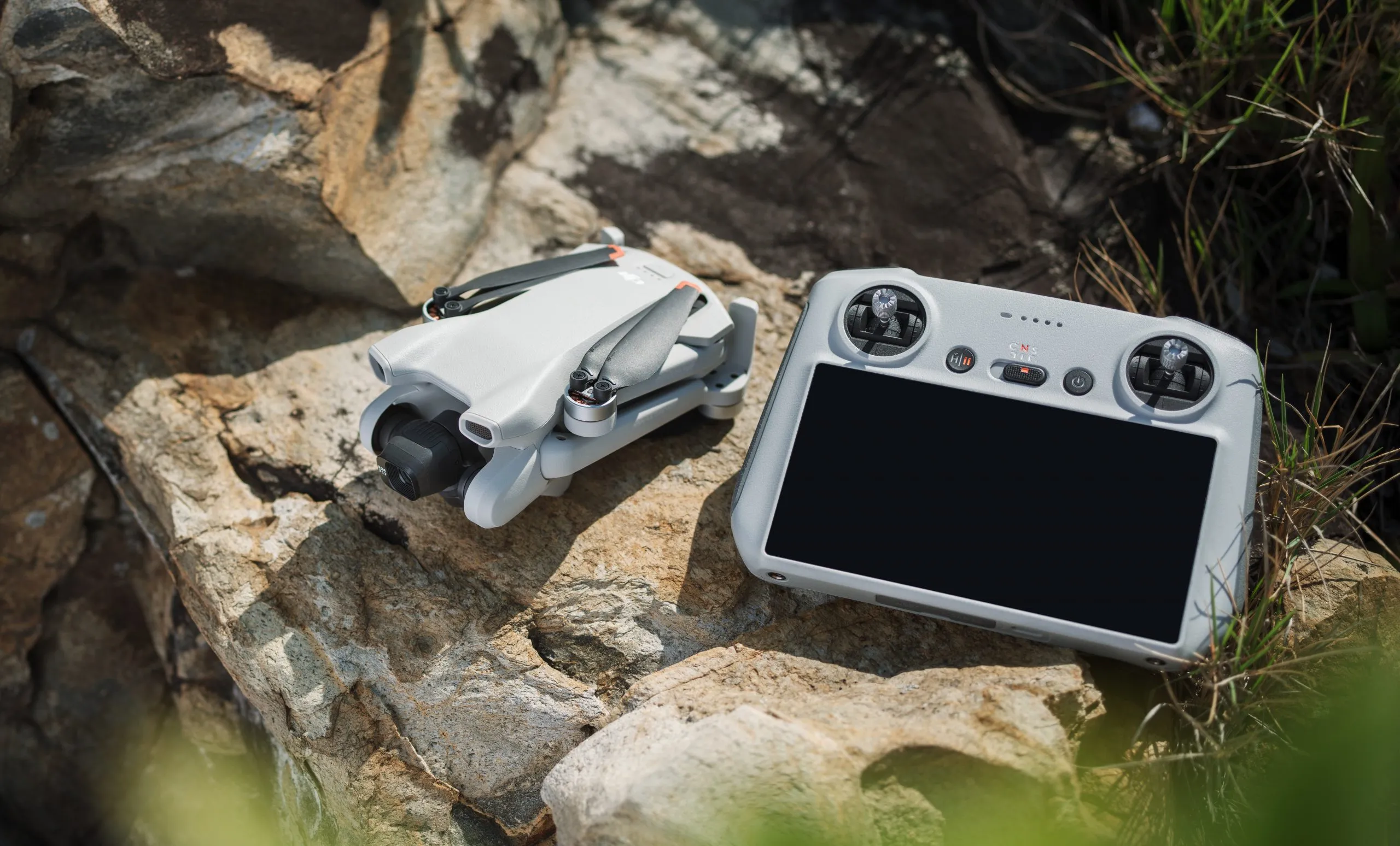
The rise of drone technology has transformed photography in unimaginable ways, unlocking new dimensions and creative opportunities for professionals and enthusiasts alike. Drones allow photographers to go beyond traditional limitations and explore the world from above, from capturing sweeping landscapes and towering cityscapes to documenting wildlife behavior and cinematic sequences. What was once only possible with helicopters and expensive aerial rigs is now accessible through compact drones equipped with high-resolution cameras and intelligent flight systems.
This article presents over 70 innovative and practical ways to use drones for photography, divided into thoughtful groups based on themes and applications. Whether you’re a nature photographer looking to elevate your craft, a real estate agent needing better listings, or a filmmaker aiming to master aerial cinematography, you’ll find valuable insights and creative inspiration throughout this guide. Each group explores specific use cases, explains the purpose behind each type of shot, and provides examples of how drone photography can tell richer, more dynamic stories.
General Aerial Photography Techniques
This foundational group focuses on essential, versatile techniques every drone photographer should know. These are the core applications that showcase the true power of aerial imagery—from high-altitude vistas to symmetry-focused compositions.
1. Bird’s-Eye View Photography
This classic drone technique captures subjects directly from above. It flattens landscapes into abstract patterns, often revealing compositions that are invisible from the ground. Commonly used in travel photography, agriculture, and creative art projects, bird’s-eye views highlight structure, color, and movement from a geometric perspective.
2. 360-Degree Panorama Shots
Drone cameras with panorama modes can stitch together multiple images from various angles, providing a full-circle view of a location. These immersive panoramas are perfect for showcasing large-scale environments such as stadiums, festivals, or natural wonders.
3. Top-Down Symmetry Photography
By aligning the drone perfectly overhead, photographers can capture roads, bridges, and architectural features in symmetrical formats. This technique emphasizes balance, design, and detail—ideal for urban planning visuals and fine art.
4. Altitude-Stacked Composition
Using different heights, you can layer your compositions with distinct foreground, midground, and background elements. This brings a cinematic depth to landscape photography, especially in mountainous regions or along coastlines.
5. Reveal Shots from Obscured Angles
A technique borrowed from filmmaking, reveal shots begin behind an object (like trees or rocks) and move upward or sideways to unveil a breathtaking scene. It adds drama and storytelling to simple landscape captures.
6. Sunrise and Sunset Overflights
Flying at golden hour offers unmatched lighting for photography. Drones allow you to position the camera to perfectly capture sunlight spilling across mountains, oceans, and cities, creating emotionally powerful and color-rich imagery.
7. Motion Blur Using Long Exposure
Some advanced drones now support long exposure photography. Capture vehicle lights, flowing water, or cloud movement from above to create striking dynamic effects.
8. Follow Mode Tracking Shots
In this mode, the drone automatically follows a moving subject like a person, car, or animal. It’s widely used in action sports photography and outdoor adventure shoots to maintain subject focus from creative angles.
9. Orthomosaic Imaging for Mapping
Photographers working with GIS or surveying industries use drones to create large, high-resolution orthomosaics by stitching together hundreds of aerial shots. This blends artistry with utility in mapping landscapes or construction zones.
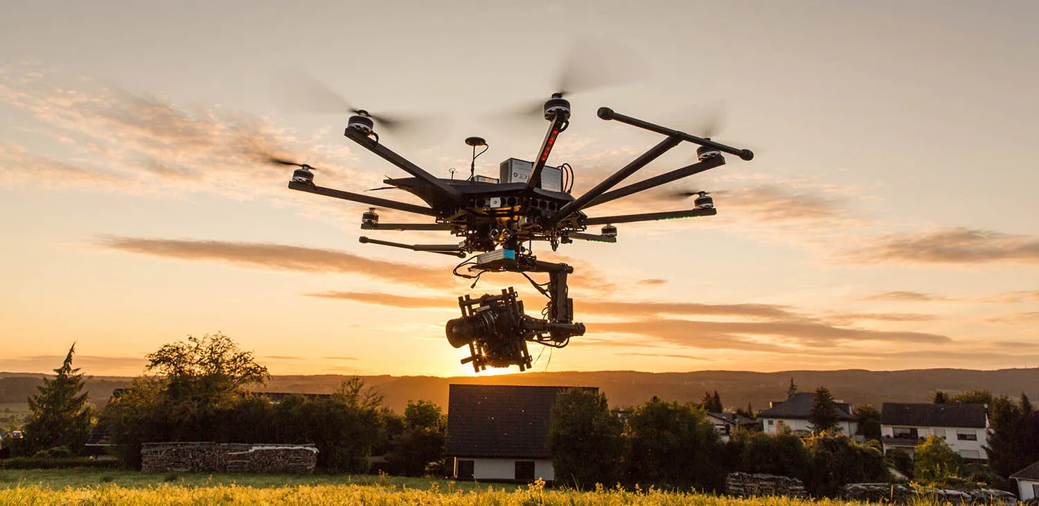
10. Dual Operator Cinematography
Using two operators—one flying the drone and the other controlling the camera—you can produce professional-level cinematic shots with precise movement, coordinated angles, and dynamic scene interaction.
Landscape and Nature Photography
Nature has always been one of photography’s greatest subjects, but drones have elevated our capacity to engage with it—literally. With aerial access to hard-to-reach locations and bird’s-eye perspectives, drone photographers can now capture the grandeur of the Earth in stunning, previously impossible compositions. This group highlights ten powerful ways drones are reshaping how we document and connect with the natural world.
11. Aerial Mountain Ranges
Drones offer an ideal vantage point to capture entire mountain ranges in a single frame, emphasizing their scale and grandeur. You can fly at varying heights to photograph peaks at sunrise, catch snow-dusted ridges, or trace winding hiking trails. From the Alps to the Andes, mountain photography with drones transforms ridgelines into living sculptures.
12. Forest Canopy Patterns
Hovering above forests reveals complex, interwoven canopies, often with textures and gradients invisible at ground level. These shots highlight seasonal color shifts, biodiversity, and structural beauty—ideal for both fine art projects and environmental studies.
13. Desert Dunes and Textures
Drones can glide silently over vast desert landscapes, capturing wind-carved dunes and serpentine patterns across the sand. Use light and shadow to accentuate depth, creating surreal, almost abstract compositions that showcase the Earth’s most minimalist environments.
14. Coastal Cliff Perspectives
Photographing dramatic coastlines and rugged cliffs is easier and safer with drones. You can orbit around promontories, capture ocean spray colliding with stone walls, or fly directly out to sea to get reverse shoreline views, which are impossible from land.
15. Volcanic Landscapes and Lava Flows
Volcanic zones are some of the most dangerous and fascinating terrains. Drones allow for safe documentation of smoldering craters, lava rivers, and active geothermal vents, providing striking imagery that’s as educational as it is beautiful.
16. Canyon Depths and Rock Formations
Capturing deep canyons and gorges is particularly effective from above. Use your drone to explore sinuous river paths, layered rock striations, or reveal the sheer drop from cliff edges to the valley floor—shots that dramatize both scale and geological time.
17. Waterfall Overviews and Cascades
Rather than just photographing from the bottom of a waterfall, drones allow you to trace the water’s journey from source to plunge. Fly high to show the falls’ total height, or skim close for intimate shots of cascading water flowing into turquoise pools.
18. Glacial Formations and Ice Fields
Drone photography of glaciers reveals intricate crevasses, meltwater channels, and towering ice walls. The aerial perspective provides context to the immense size of glacial bodies and can also support environmental monitoring of retreating ice due to climate change.
19. Island Topographies and Atolls
Drones are ideal for island photography—capturing coral reefs, sandbars, and the full perimeter of landforms in crystal-clear water. These shots are particularly powerful when combining natural elements with aerial symmetry, showing the harmony between land and sea.
20. Savannah and Grassland Mosaics
When flying over plains, drones can capture the organic patchwork of grasses, trees, and wildlife trails. These wide shots are perfect for storytelling in wildlife documentaries, conservation campaigns, or artistic interpretations of the Earth’s open biomes.
Urban and Architectural Photography
While nature offers sprawling canvases, the modern city provides texture, geometry, and motion—an entirely different but equally compelling landscape. Drones allow photographers to visualize urban environments from fresh angles, turning gridlocked streets into symmetrical art, skyscrapers into sculptural marvels, and public spaces into living systems. This group reveals ten powerful and diverse ways drone photography is transforming how we document and interpret our built world.
21. Skyscraper Scale Visualizations
Flying at eye level with towering buildings offers a visceral sense of scale. Drone photos from mid- or high-rise altitude highlight urban density, skyline layering, and the contrast between old and new architectural styles. This is particularly useful for architectural portfolios and urban planning visuals.
22. Street Grid Symmetry Shots
Cities often unfold in predictable patterns—grids, curves, blocks. A drone positioned directly overhead captures mathematical beauty in mundane scenes, such as traffic intersections, alleyways, or public squares, turning everyday chaos into abstract compositions.
23. Rooftop Activity Documentation
Drones grant access to the often-overlooked fifth façade of buildings—the rooftop. From gardens and HVAC systems to bars and helipads, aerial views can reveal the vibrant and functional uses of urban verticality.
24. Historical Site Documentation
Old churches, temples, and ruins look even more majestic from above. Drone images provide contextual perspective, showing how these historic sites relate spatially to their modern surroundings—ideal for travel publications and heritage conservation groups.
25. Bridge and Infrastructure Photography
Drones can follow the arc of a suspension bridge, fly under support structures, or float beside railways and aqueducts. These shots emphasize engineering ingenuity and help capture the beauty of public infrastructure—essential for both promotional content and civil documentation.
26. Construction Progress Imaging
Many construction firms now employ drones to document multi-phase progress, offering both visual oversight and marketing material. These sequential images track the growth of high-rises, stadiums, and neighborhoods in real time.
27. Urban Crowd Movement Analysis
Using time-lapse drone photography, photographers can record how people navigate spaces—from concerts and protests to marketplaces and festivals. These visuals are as useful for crowd control planning as they are for dynamic street photography.
28. Light Trails in Urban Nightscapes
Capturing cars from a high altitude during long exposures produces vivid light trails—red and white lines weaving through neon-soaked streets. This adds motion and energy to city night shots and blends fine art with documentary work.
29. Facade and Wall Pattern Studies
Drones can hover parallel to large buildings, documenting intricate facade rhythms, window arrangements, or architectural ornamentation. This is especially useful for modernist structures, brutalist buildings, or repetitive geometries.
30. Cultural Landmarks from Contextual Angles
Rather than isolating famous monuments, drones can place them in their urban ecosystem. For instance, capturing the Eiffel Tower with the Seine in the background or showing how the Sydney Opera House fits within its coastal geography gives viewers a fuller story.
Real Estate and Property Marketing
Real estate has always been a visual business. But today’s buyers and investors expect more than static images—they crave immersive, informative visuals that showcase not just the property, but its context and lifestyle potential. Drone photography fills that need, delivering stunning aerial perspectives that reveal layout, surroundings, and selling features in ways traditional cameras can’t match. From family homes to sprawling resorts, these ten drone photography strategies give properties a serious edge in competitive markets.
31. Full Property Overviews
Drones can fly high enough to capture an entire estate, farm, or commercial site in a single frame. This is especially important for larger properties where land size, zoning, and external features are part of the value proposition.
32. Highlighting Lot Boundaries and Land Usage
Overlaying drone imagery with graphic lot lines or annotations helps buyers understand what’s included in the sale—ideal for rural land listings, ranches, and undeveloped acreage.
33. Showcasing Surrounding Amenities
Drones provide crucial context about nearby attractions, such as parks, golf courses, schools, or waterfront access. This is an excellent way to convey the lifestyle benefits of a property’s location.
34. Capturing Curb Appeal from Above
While curbside photos are standard, aerial shots reveal roof quality, driveway design, backyard landscaping, and the home’s general positioning within the block—all contributing to perceived value.
35. Virtual Neighborhood Tours
Create a virtual fly-through that starts at the property and moves through the surrounding streets. These cinematic tours give out-of-town buyers or investors a clear view of the entire neighborhood or business district.
36. Showcasing Unique Architecture or Landscape Features
Does the property have a rooftop terrace, a pool with a view, or a garden labyrinth? A drone can hover and orbit to highlight these one-of-a-kind elements, increasing emotional appeal.
37. Interior-Exterior Seamless Fly-Ins
With practice, drone pilots can transition from exterior shots into the front door or backyard entry, creating a continuous visual narrative that mimics real-world exploration.
38. Multi-Story Layout Visualization
Aerial perspectives make it easier to understand the vertical structure of townhouses, villas, or apartment buildings, giving viewers a sense of height, symmetry, and scale.
39. Sun Path and Natural Lighting Analysis
By capturing drone images at different times of the day, photographers can help buyers see how light interacts with the property, revealing sunlit patios, shaded areas, and energy efficiency factors.
40. Time-Lapse Marketing Videos for New Developments
Use drones to shoot time-lapse sequences over weeks or months to showcase construction progress for off-plan buyers, commercial investors, or retail tenants.
Event Coverage and Cinematic Storytelling
In the world of events and film, capturing emotion, atmosphere, and setting is essential. Traditional cameras are powerful, but drones bring an added layer—a floating, sweeping view that adds movement, grandeur, and depth to every frame. From intimate weddings to large-scale music festivals and sports events, drones offer dynamic ways to preserve memories and deliver cinematic flair. These ten strategies show how drone photography enhances storytelling and elevates visual impact in public and private events.
41. Wedding Aerial Highlights
Capture a couple’s big day from the sky—guests gathering, the venue layout, or a romantic drone shot of the couple walking under fireworks. These visuals bring a film-like quality to wedding albums and videos.
42. Ceremony Venue Overview
Drones provide full context of outdoor ceremony setups, such as beachfronts, gardens, vineyards, or mountaintop weddings. A wide-angle drone image can show the setting’s beauty, scale, and design symmetry.
43. Pre-Event Venue Flythroughs
Create anticipation with drone previews of the venue layout before the event begins—capturing lighting setups, floral designs, or entrance areas from above. This is great for marketing luxury events or creating teaser content.
44. Crowd Reactions at Public Gatherings
Hovering drones can capture large audience reactions at concerts, rallies, or parades, showing the emotional energy of a crowd in a way that ground-level cameras often miss.
45. Choreographed Event Moments from Above
From flash mobs to dance floor sequences, drones can fly overhead to capture perfectly synchronized moments—ideal for adding awe and drama to highlight reels.
46. Festival Site Mapping and Promotion
For multi-day festivals and expos, drones can document full layouts, food zones, activity areas, and stage locations. These videos are useful for future marketing and logistical reviews.
47. Sporting Event Flyovers
Drones are increasingly used to follow runners in marathons, cyclists in races, or skiers on snowy slopes. These angles bring viewers closer to the action and offer coverage that feels fluid and thrilling.
48. Engagement and Proposal Captures
Surprise proposals can be recorded discreetly by drones, capturing a sweeping view of the setting and a zoom-in on the emotional moment—a perfect keepsake for couples.
49. Drone Cinematics for Film and TV
In scripted media, drones now serve as cost-effective alternatives to helicopters or jibs. Whether it’s an opening shot over a city skyline or a chase sequence through a canyon, drones deliver motion-rich, smooth, and cinematic footage on a budget.
50. Multi-Angle Drone Coverage for Documentaries
In storytelling documentaries, drones provide establishing shots of towns, remote villages, or natural habitats—framing the narrative and giving global audiences an instant sense of place and context.
Environmental Monitoring and Conservation
Drones are now essential tools in environmental monitoring, conservation research, and sustainability advocacy. They offer non-invasive, high-resolution perspectives that were once only possible with satellite imaging or expensive aircraft. Through drone photography, researchers, NGOs, and educators can raise awareness and collect data on ecosystems, climate change, deforestation, and wildlife behavior.
51. Wildlife Population Surveys
Drones allow researchers to monitor animal populations without disturbing habitats. From elephants in savannahs to seabirds on cliffs, aerial images enable safer, broader, and more ethical observation.
52. Habitat Mapping and Fragmentation Analysis
With drone imaging, scientists can map ecosystem boundaries, changes in forest coverage, and human encroachment, helping conservation groups to plan better interventions.
53. Glacial Retreat Documentation
As glaciers shrink due to climate change, drones can capture before-and-after imagery that highlights the severity of melting ice fields—valuable for science and public awareness.
54. Coastal Erosion Monitoring
Flyovers of beaches and coastal cliffs can help measure changes in shoreline and sediment loss, informing urban planners and environmental agencies about erosion threats.
55. Coral Reef Imaging from Above
In clear waters, drones can photograph reefs, revealing patterns of bleaching, algal overgrowth, or healthy coral patches without needing deep-sea equipment.
56. Tree Health and Forest Disease Surveys
Drones with multispectral sensors can identify unhealthy trees or disease outbreaks based on leaf coloration and infrared signatures, aiding forest management.
57. Floodplain and Wetland Analysis
Drones help visualize how floods impact wetlands and wildlife. These photos are crucial for understanding water flow, flood risks, and resilience planning.
58. Environmental Cleanup Site Documentation
After oil spills or chemical leaks, drones can safely photograph contaminated zones, assisting in remediation planning, progress tracking, and legal documentation.
59. Volcano Monitoring and Lava Flow Imaging
In active volcanic zones, drones provide safe, close-up visuals of craters and lava flows, which can help volcanologists study pressure build-up and activity risks.
60. Environmental Campaign Visuals for Fundraising
Conservation groups use dramatic drone visuals to support storytelling and fundraising—turning aerial beauty into calls for action.
Industrial, Commercial, and Scientific Uses
Beyond art and ecology, drone photography has become a workhorse of innovation in construction, agriculture, logistics, and scientific research. It brings speed, precision, and visual clarity to complex systems, saving time, cutting costs, and enhancing decision-making across industries.
61. Agricultural Crop Health Imaging
Farmers and agronomists use drones to scan large fields for crop density, irrigation needs, pest outbreaks, and nutrient deficiencies, all captured in high-resolution maps.
62. Utility and Powerline Inspection Photography
Instead of sending humans up poles or towers, drones safely photograph transmission lines, solar arrays, and wind turbines, catching maintenance issues before they escalate.
63. Mining Site Mapping and Pit Monitoring
Mining companies use drone maps to track resource extraction, monitor pit geometry, and document safety risks—especially in large or unstable excavation zones.
64. Road and Rail Project Documentation
Construction firms use drones to create timeline visuals of road builds, showing progress, identifying bottlenecks, and helping engineers plan next phases.
65. Pipeline and Refinery Infrastructure Inspection
Aerial photography from drones helps monitor leaks, corrosion, or thermal patterns in long-distance pipelines and complex facilities.
66. Search and Rescue Visual Mapping
In disaster zones, drones fly over landslides, floods, or fire areas to provide real-time imagery to first responders looking for survivors or navigable terrain.
67. Scientific Fieldwork in Inaccessible Terrain
Geologists, archeologists, and glaciologists use drones to document sites that are otherwise unreachable, capturing cliffs, caves, or glacial crevices with high precision.
68. Time-Stamped Scientific Documentation
Drones can return to the same GPS location over months or years to photograph environmental change, species migration, or land-use evolution for longitudinal studies.
69. Industrial Real Estate and Port Documentation
Large industrial complexes such as ports, warehouses, and logistics hubs benefit from drone overviews for inventory, security, and infrastructure planning.
70. Photogrammetry and 3D Modeling for Engineering
Through structured imagery, drones contribute to 3D maps and photogrammetric models used in architecture, geospatial analysis, and mechanical simulation.
Creative, Educational, and Social Use
Beyond industry, science, and nature, drones open up a creative frontier—where artists, educators, influencers, and communities use aerial imagery for storytelling, public engagement, and education.
71. Social Media Aerial Content Creation
Travel bloggers, influencers, and brands use drones to create visually striking videos and reels—from mountaintop yoga sessions to group beach shots, amplifying engagement.
72. Drone Art Installations and Light Shows
Art collectives use synchronized drones in performances that replace fireworks or skywriting, choreographing lights and movements into aerial displays.
73. Time Capsule Community Projects
Drone projects capturing entire towns or villages over time offer historic visual records for future generations, schools, or city archives.
74. Student STEM and Robotics Programs
Many schools now integrate drones into photography, engineering, and environmental science classes, teaching drone navigation and image analysis.
75. Virtual Tourism and Remote Exploration
Drone videos let viewers visit remote destinations virtually—like hidden waterfalls, tribal villages, or Arctic landscapes—supporting education, inclusion, and curiosity.
76. Cultural Documentation and Heritage Preservation
In regions with ancient ruins or ceremonial lands, drone photography offers non-intrusive ways to document fragile heritage sites.
77. Public Awareness Campaigns and Protests
Activists use drones to film marches, climate protests, and installations, offering media a bird’s-eye story and expanding the reach of their message.
78. Drone-Based Education in Photography Courses
Art schools and media institutes now teach drone photography as part of modern visual storytelling, preparing students for evolving careers.
79. Interactive Museum and Gallery Displays
Aerial images are integrated into museum exhibits to add geographic context, such as showing dig sites, war zones, or ancient paths from above.
80. Community Storytelling and Indigenous Land Mapping
Indigenous communities use drones to document traditional land use, sacred sites, and environmental change, preserving memory and supporting sovereignty.
Drones have completely redefined what it means to capture the world around us. Once limited by tripods, ladders, or even helicopters, photographers today have access to sweeping vistas, tight aerial flyovers, and high-angle compositions that were once impossible. But the real magic of drone photography lies not just in elevation—it’s in perspective.
Across the 80+ ways explored in this article, one theme emerges consistently: drones expand our capacity to tell stories. Whether revealing the quiet symmetry of a vineyard, the pulsating energy of a music festival, or the devastating effects of environmental change, drones help us see and understand the world with greater clarity and emotion. They merge art with utility, delivering value in commercial real estate, environmental science, humanitarian work, education, and even social justice movements.
Drone photography is more than a trend—it’s a permanent evolution of visual storytelling. It challenges us to think bigger, look deeper, and shoot smarter. With just a few tools and a well-planned flight, we can elevate not only our images, but the ideas behind them. For professionals, hobbyists, educators, or activists, drones offer a future where creativity has no ceiling.


